
![]()
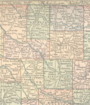
1914 County Map
![]()
1914 County Maps by State
Source: http://freepages.genealogy.rootsweb.com/~shastaca/maps_index.html
~~~~~~~~~~
Comments from source:
"This is from a book found while tearing down an old shed. There was no cover, and the last page was missing, which I believe was Nevada and Washington. The maps are dated 1910-1914. That is why I called them 1914 maps, that's when it ended. The name at the top says Atlas of the World."
Note:
Permission from Janie Edwards was given to use maps from her webpage on USGenWeb Project pages.
~~~~~~~~~~
(Click the picture for a larger view.)
![]()
If you have additional information
for this page, This page was
last updated on |